
Twining Ford / Schofield Ford Covered Bridge
Bucks County, Pennsylvania — PA/38-09-13#2
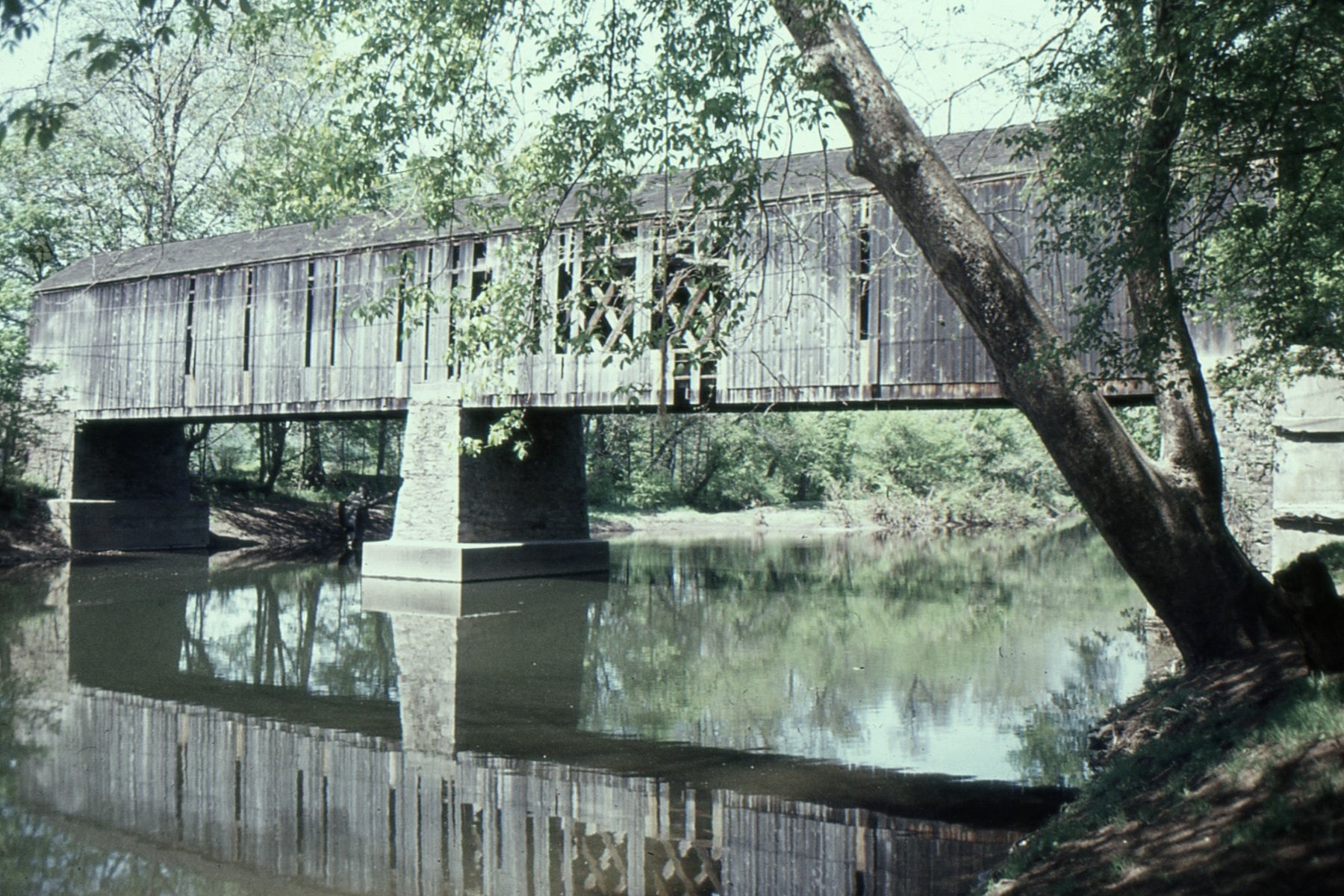
🔍 Enlarge
Historical Photo 1977
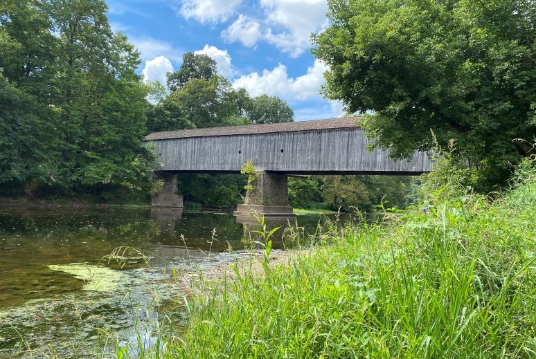
🔍 Enlarge
Current Photo 2022
Bridge Details
| World Guide Number | PA/38-09-13#2 |
| Also Known As | Schofield Ford Bridge |
| County | Bucks County, Pennsylvania |
| Stream | Neshaminy Creek |
| Truss Type | Town & Queen |
| Year Built | 1997 |
| Length | 166' |
| GPS Coordinates | 40.228889, -75.068056View Map |
Directions
0.5 miles north of jct PA332 on PA413/532, then 2.0 miles ahead on Swamp Rd. and 0.2 miles left into Schofield Ford Covered Bridge / Tyler State Park. Park and walk 0.2 miles west.