
Red Run / Oberholtzer's Mill Covered Bridge
Lancaster County, Pennsylvania — PA/38-36-10
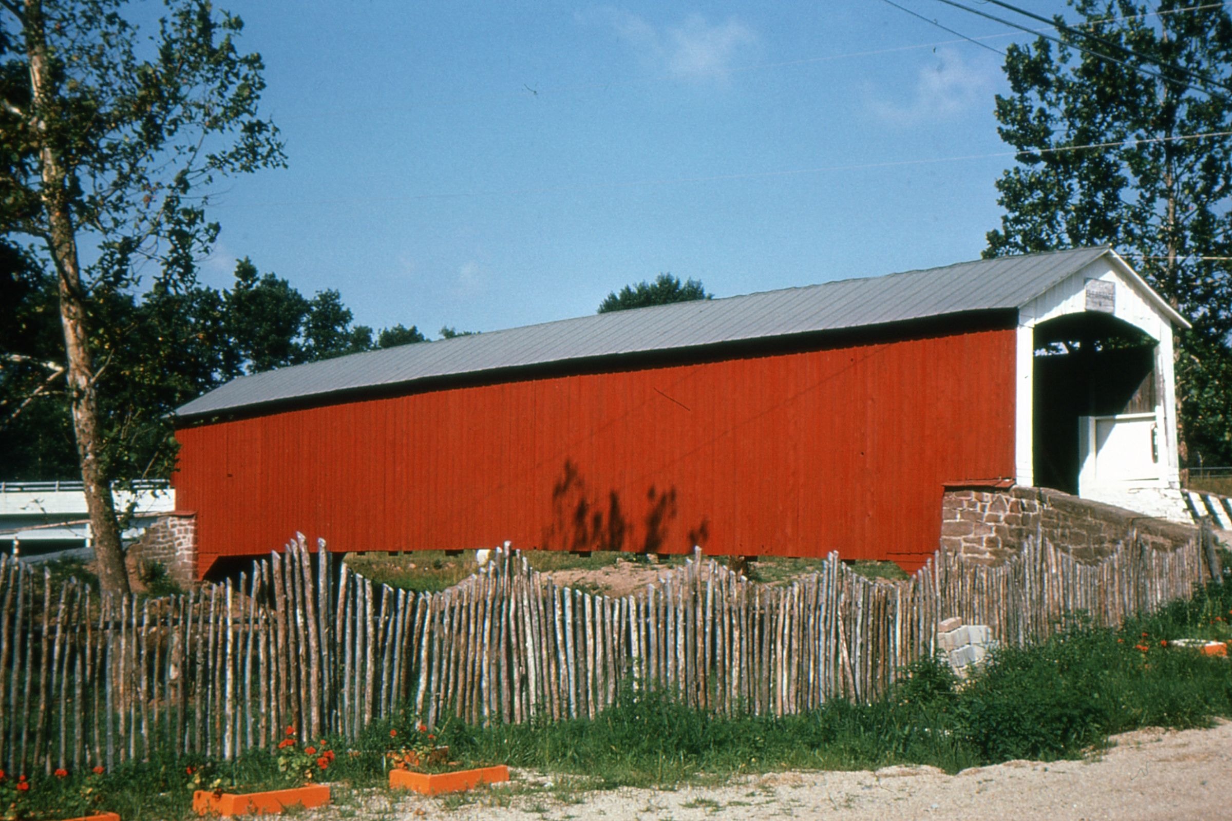
🔍 Enlarge
Historical Photo 1963
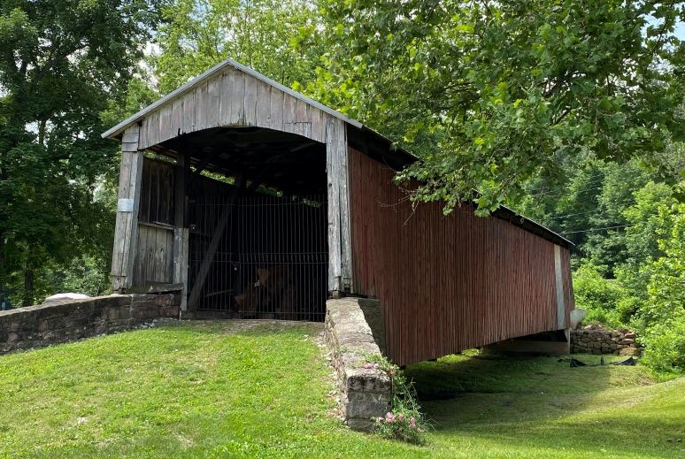
🔍 Enlarge
Current Photo 2021
Bridge Details
| World Guide Number | PA/38-36-10 |
| Also Known As | Oberholtzer's Mill Bridge |
| County | Lancaster County, Pennsylvania |
| Stream | Dry Land |
| Truss Type | Burr Arch |
| Year Built | 1866 |
| Length | 107' |
| GPS Coordinates | 40.1753, -76.0808View Map |
Directions
3.8 miles northeast of jct. US 322 on PA 272, then 1.9 miles right on W Church St. (SR 1051) (becomes E Church St.) and 1.9 miles left on the left side of Red Run Rd. (SR 1044) in Red Run Campground. Southeast of Reamstown, 0.5 miles south of Red Run.