
Parr's Mill / Paar's Mill Covered Bridge
Columbia County, Pennsylvania — PA/38-19-29
🔍 Enlarge
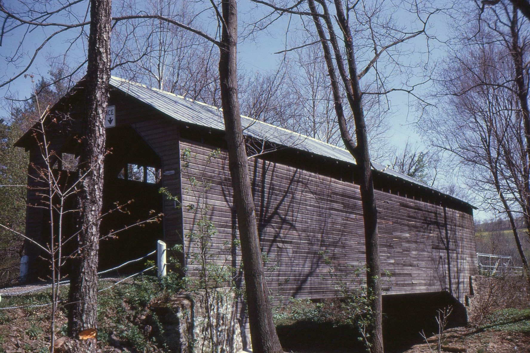
Historical Photo 1963
🔍 Enlarge
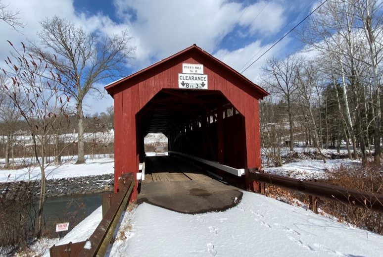
Current Photo 2022
Bridge Details
| World Guide Number | PA/38-19-29 |
| Also Known As | Paar's Mill Bridge |
| County | Columbia County, Pennsylvania |
| Stream | Roaring Creek, North Branch |
| Truss Type | Burr Arch |
| Year Built | 1865 |
| Length | 84' |
| GPS Coordinates | 40.9063, -76.47263View Map |
Directions
2.9 miles south-southwest of jct PA 442 on PA 87, then 0.3 miles left on Ashton Hollow Rd. (SR 3003) and just left on Parrs Mill Rd. (TR 371). 3.5 miles south of Catawissa.