
McConnell's Mill Covered Bridge
Lawrence County, Pennsylvania — PA/38-37-01
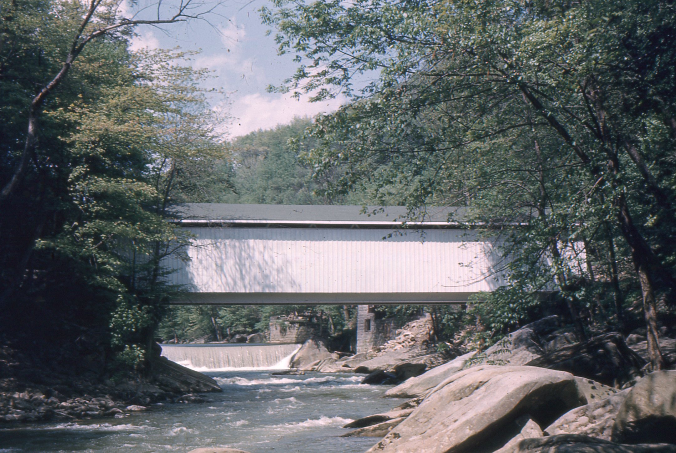
🔍 Enlarge
Historical Photo 1960
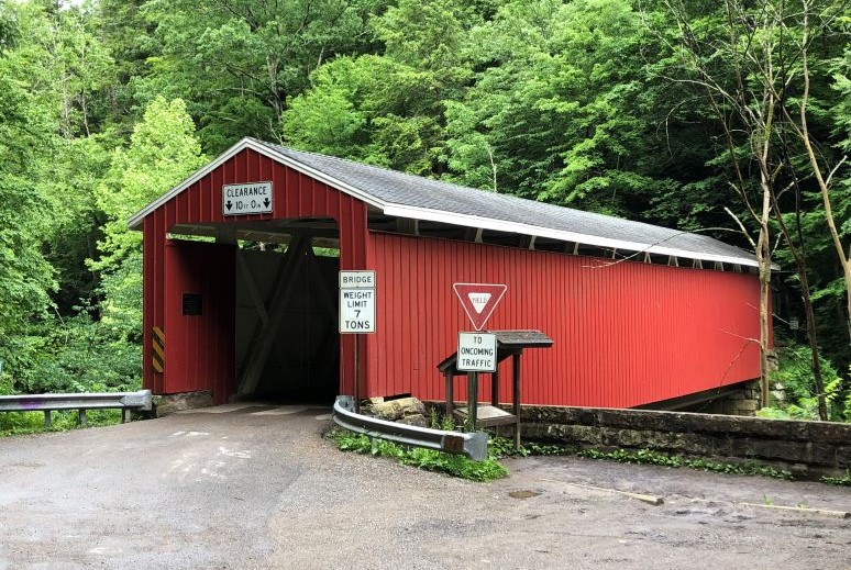
🔍 Enlarge
Current Photo 2018
Bridge Details
| World Guide Number | PA/38-37-01 |
| Also Known As | — |
| County | Lawrence County, Pennsylvania |
| Stream | Slippery Rock Creek |
| Truss Type | Howe |
| Year Built | 1874 |
| Length | 110' |
| GPS Coordinates | 40.951944, -80.171944View Map |
Directions
0.3 miles west of jct US19 on US422, then 1.0 miles left on McConnell's Mill Rd. into McConnell's Mill State Park, then right 0.1 miles on Kildoo Rd., then right 0.2 miles on Kennedy Rd. and left 170 feet to bridge. South-southeast of Rose Point.