
Landis Mill Covered Bridge
Lancaster County, Pennsylvania — PA/38-36-16
🔍 Enlarge
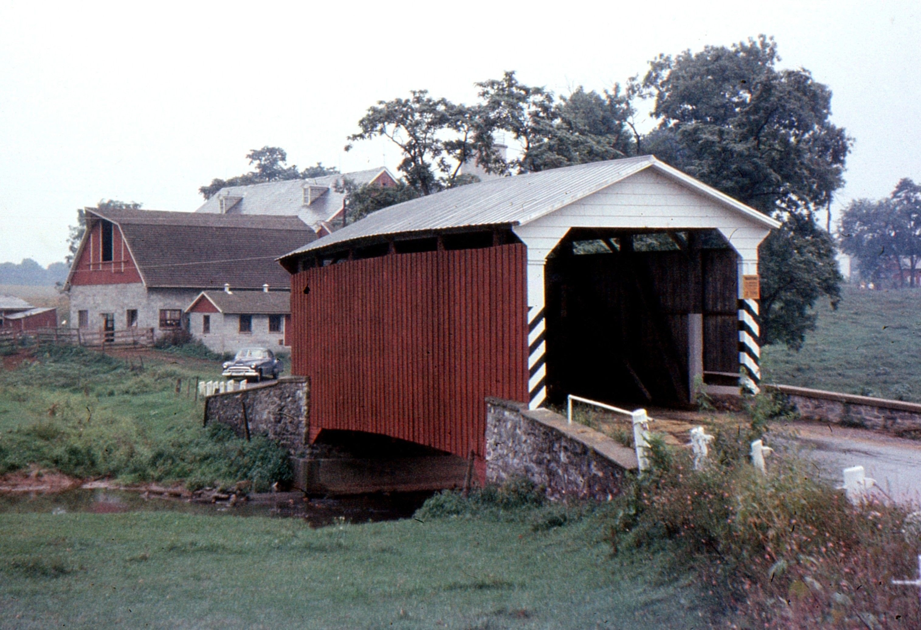
Historical Photo 1960
🔍 Enlarge
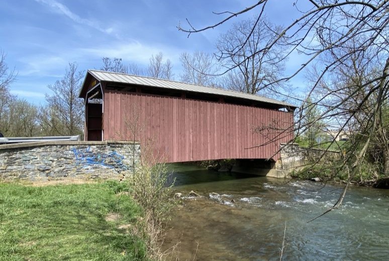
Current Photo 2024
Bridge Details
| World Guide Number | PA/38-36-16 |
| Also Known As | — |
| County | Lancaster County, Pennsylvania |
| Stream | Little Conestoga Creek |
| Truss Type | Modified Multiple King |
| Year Built | 1873 |
| Length | 53' |
| GPS Coordinates | 40.0686, -76.34502View Map |
Directions
0.2 miles west of US 30 BP on Harrisburg Pike, then 0.3 miles right on Shreiner Station Rd. At west edge of Park City Mall. Northwest edge of Lancaster.