
Eberly's Mill / Bitzer's Mill Covered Bridge
Lancaster County, Pennsylvania — PA/38-36-04
🔍 Enlarge
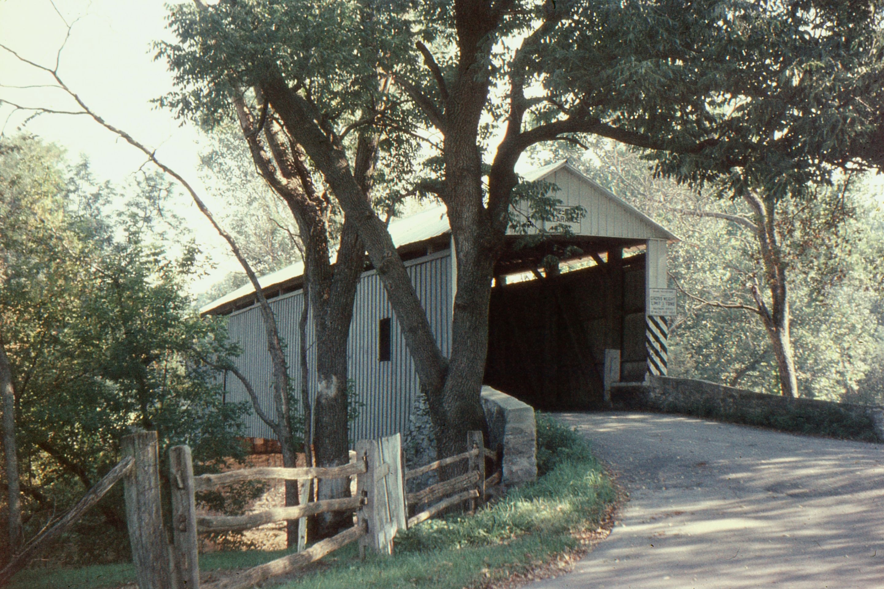
Historical Photo 1960
🔍 Enlarge
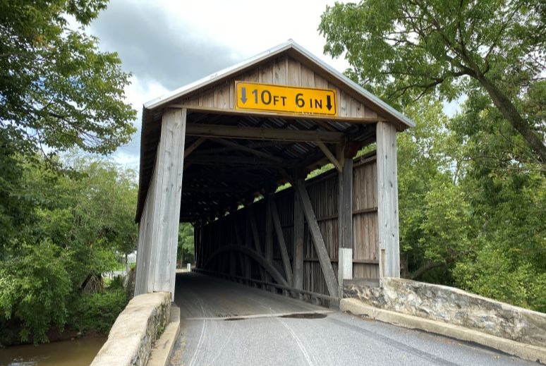
Current Photo 2024
Bridge Details
| World Guide Number | PA/38-36-04 |
| Also Known As | Bitzer's Mill Bridge; Frandt's Mill Bridge |
| County | Lancaster County, Pennsylvania |
| Stream | Conestoga River |
| Truss Type | Burr Arch |
| Year Built | 1846 |
| Length | 99' |
| GPS Coordinates | 40.140417, -76.15195View Map |
Directions
0.4 miles northwest of jct. US 222 on US 322, then 1.4 miles left on Pleasant Valley Rd., then 0.2 miles right on Willis Pierce Rd. and 0.4 miles left on Cider Mill Rd. Southeast of Ephrata, 2 miles south of Murrell.